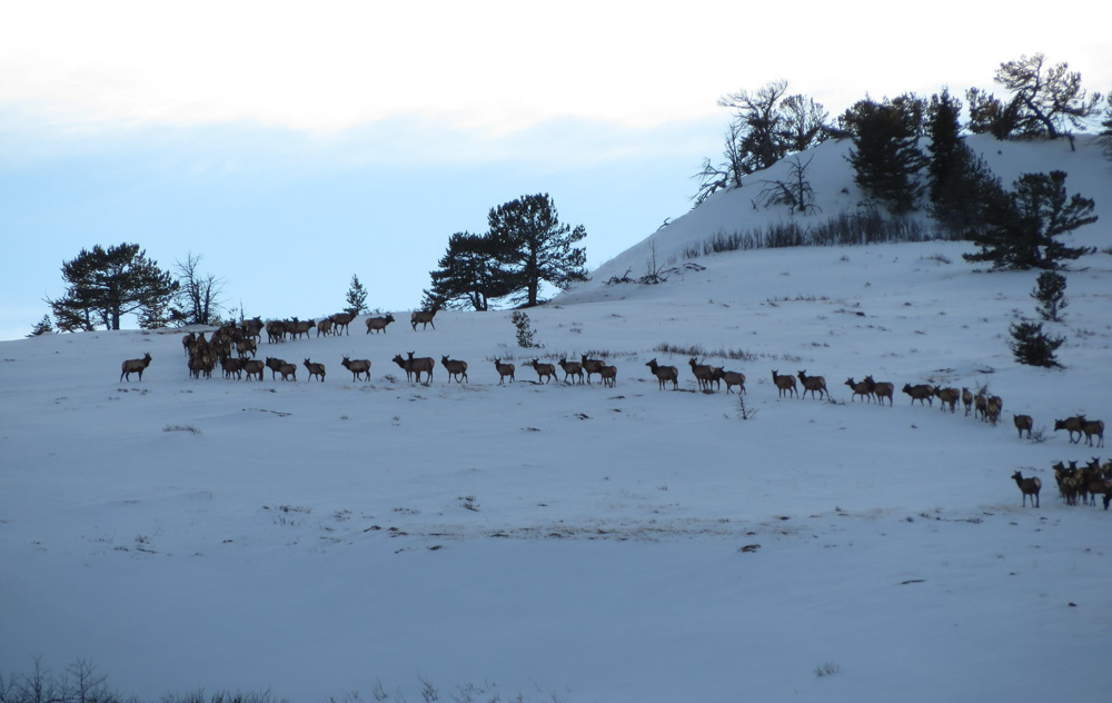
Elk and other ungulates travel great distances to take advantage of quality habitat during key times of the year. And the latest round of big game migration mapping from the U.S. Geological Survey (USGS) and its partners gives biologists and wildlife managers greater insights into that behavior and how they can better ensure their future.
“The corridor maps give us a great tool to pinpoint our on-the-ground conservation efforts,” said Blake Henning, Rocky Mountain Elk Foundation chief conservation officer. “Conserving elk migrations is a priority for RMEF and its members, and detailed maps are critical to that effort.”
RMEF and USGS supplied the primary funding for the analysis and compilation of the report. In December 2021, RMEF announced a $180,000 commitment from its Torstenson Family Endowment to help continue critical elk migration corridor mapping across the West.
Researchers released the first two sets of maps in 2020 and early 2022. This latest third edition in the series includes maps and summaries of 45 mule deer, white-tailed deer, pronghorn and elk migration routes in Arizona, California, Idaho, New Mexico, Utah, Washington, Wyoming and, for the first time, the Navajo Nation.
With this latest volume, the series includes details and maps of the migrations and seasonal ranges for 152 herds, along with insights into how earlier migration maps are being used in conservation planning.
“Many ungulate herds must migrate to thrive on the strongly seasonal landscapes of the American West. These corridor maps make it possible to plan for keeping those corridors open,” said Matthew Kauffman, research wildlife biologist with the USGS Wyoming Cooperative Fish and Wildlife Research Unit. “When the first sets of maps came out, we were excited about how these maps could be used for conservation planning, but that was mostly aspirational. Now in Volume 3, we have examples of how migration maps are being used on the ground.”
Each spring and fall, deer, elk, pronghorn and other hoofed mammals migrate throughout the western United States, a critical behavior that allows them to avoid deep snow and access the most nutritious forage. But as the human footprint in the West expands, these migratory animals increasingly face obstacles such as new development, impermeable fences and high-traffic roads.
Detailed mapping from GPS collar data, such as those in this map series, can help identify where migrations overlap with existing and potential barriers to movement.
Go here to read the USGS news release.
(Photo source: Wyoming Game and Fish Department)
