Below is a news release from the Malheur National Forest.
The Malheur National Forest will soon begin invasive plant control on the forest, with work continuing from late April through November. We use an integrated approach for invasive weed control, including herbicide application, manual removal, biological control, prevention, and restoration. This project is a continuation of work started under the 2015 decision for the Malheur Site-Specific Invasive Plants Treatment Project.
Invasive species negatively affect biodiversity, wildlife habitat, animal forage, and streamside vegetation. Invasive plants targeted for treatment include knapweeds, non-native thistles, St. Johnswort, houndstongue, sulphur cinquefoil, toadflaxes, whitetop, perennial pepperweed, and leafy or myrtle spurge. Most herbicide treatments will be spot application to individual invasive plants using backpack or hand sprayers from ATVs or trucks. Some broadcast application is also planned for select roadsides and gravel pits. Herbicides we use include aminopyralid, chlorsulfuron, clopyralid, glyphosate, imazapic, imazapyr, indaziflam, metsulfuron methyl, sethoxydim, sulfometuron methyl, and triclopyr.
Treatment sites are located across the Malheur National Forest, and we will place notification signs for herbicide applications in high-use areas at the time of treatment. A blue marker dye that fades over time will be mixed with herbicides to show where application occurred. We typically avoid herbicide application in apparent edible and medicinal plant collection areas. Please contact us with your planned collection areas if you would like for us to avoid them or consider other appropriate invasive control strategies.
The following campgrounds will have no herbicide use in 2024: Billy Fields on the Blue Mountain Ranger District, North Fork Malheur on the Prairie City Ranger District, and Tip Top on the Emigrant Creek Ranger District. We may still apply herbicide to roads and invasive patches nearby but outside of these campgrounds. The remaining campgrounds will have at least half the campground herbicide-free in a 30-day period.
A map of potential treatment areas is posted on the forest’s website http://www.fs.usda.gov/malheur on the homepage under the quick links.
Partners include Grant Soil and Water Conservation District, Harney County Weed Control, Harney Cooperative Weed Management Area, Burns Paiute Tribe, Monument Soil and Water Conservation District, North Fork John Day Watershed Council, Oregon Department of Agriculture, Rocky Mountain Elk Foundation, private landowners, and permittees. Funding includes appropriated dollars and grant money from Title II projects.
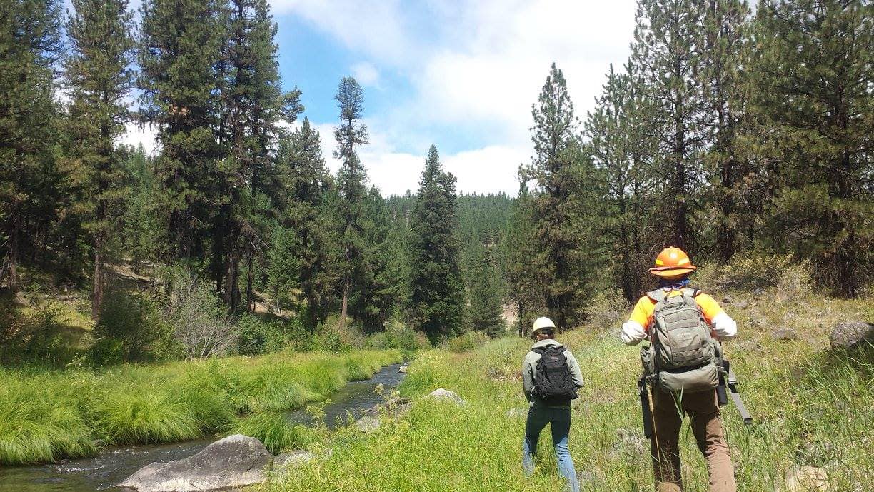
(Photo credit: Malheur National Forest)
